Precision Land Surveying
Solutions You Can Trust

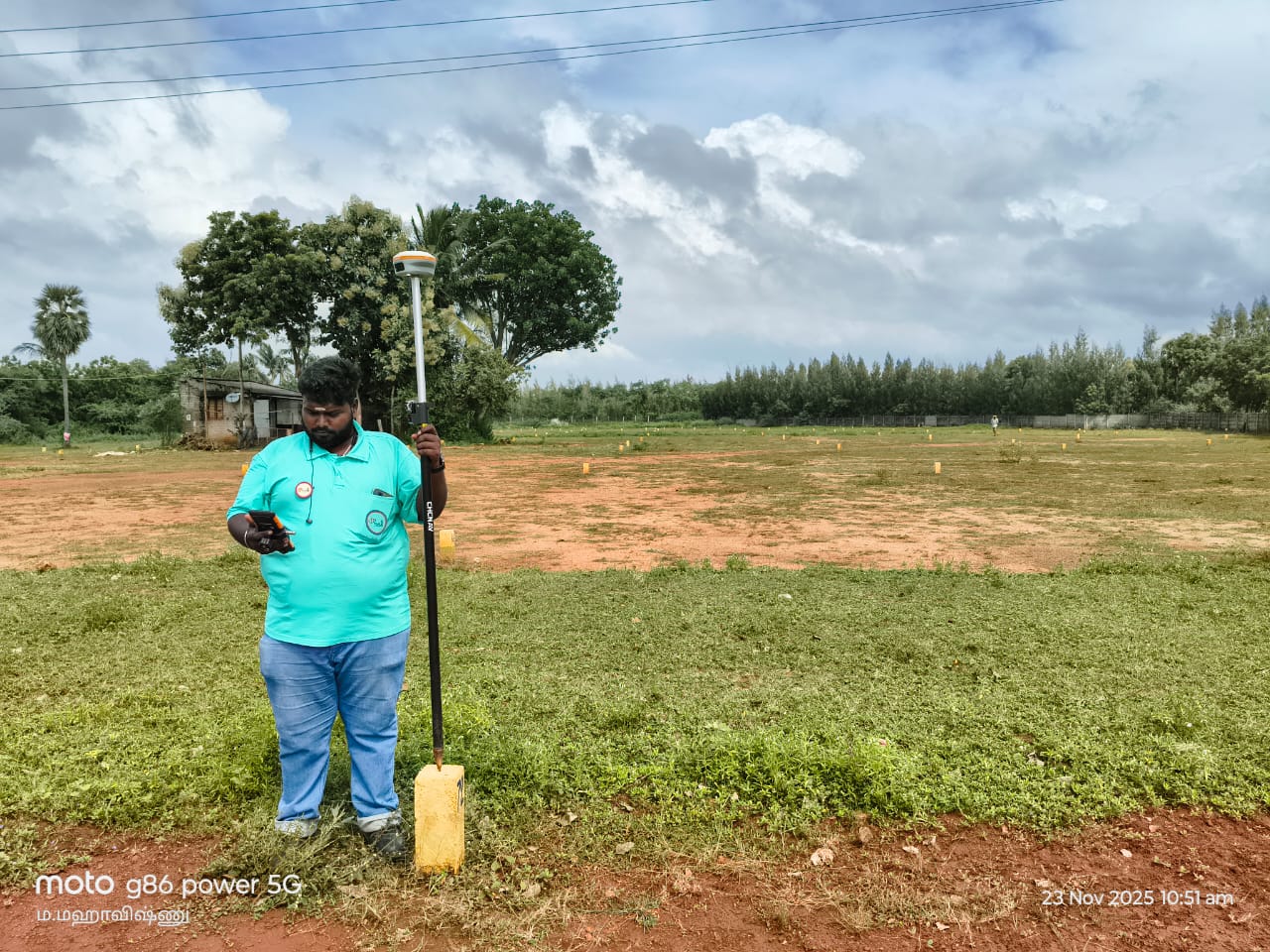
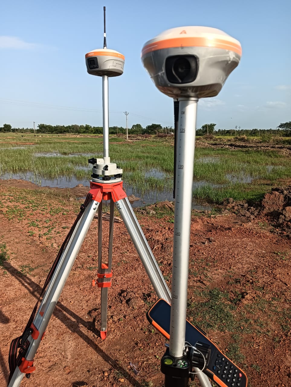
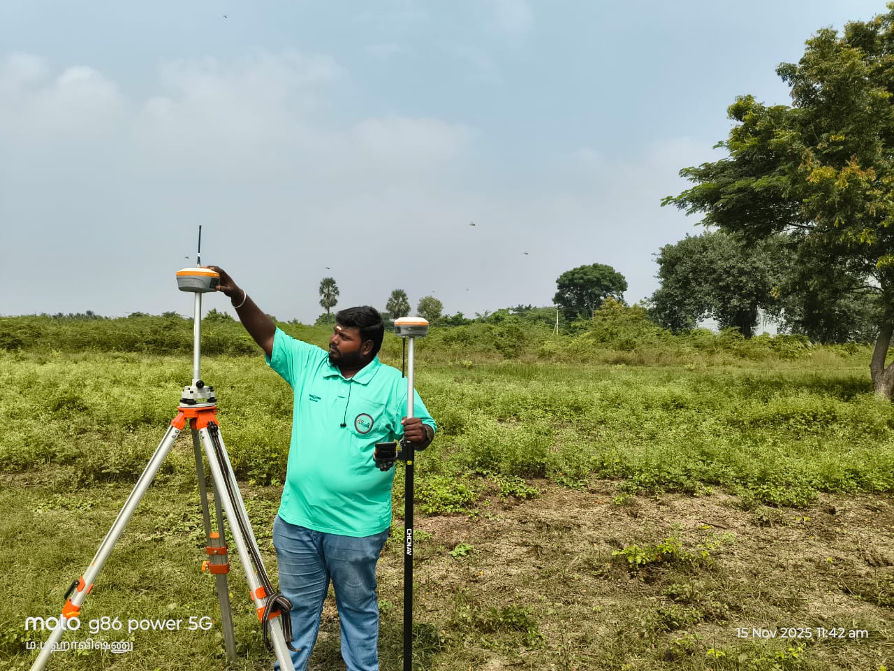
Infrastructure-grade surveying using GNSS, DGPS, RTK & precision levelling technologies.

About Prism Land Surveyors

Prism Land Surveyors delivers accurate, compliant and government-grade land surveying solutions for infrastructure, railway, highway, rural and urban projects. With a commitment to excellence and precision, we have established ourselves as a trusted partner in the construction and development industry.

Our expertise in GNSS, DGPS, RTK and precision levelling ensures reliability, accuracy and timely execution. We utilize state-of-the-art surveying equipment and cutting-edge technology to provide comprehensive mapping and measurement services that meet the highest industry standards.

🎯

Precision & Accuracy

Government-grade surveying with millimeter-level precision using advanced GNSS technology.

Fast Turnaround

Efficient project execution with timely delivery without compromising on quality standards.

🏆

Expert Team

Experienced surveyors with extensive knowledge in infrastructure and construction projects.

Land Survey Work
Who We Are

Who We Are

Prism Land Surveyors is a team of dedicated professionals committed to delivering precision and excellence in every project. With years of experience in the field, we combine cutting-edge technology with traditional surveying expertise.

Our mission is to provide accurate, reliable, and government-compliant surveying services that help build the infrastructure of tomorrow. We pride ourselves on our attention to detail, commitment to deadlines, and unwavering dedication to client satisfaction.

500+
Projects Completed
15+
Years Experience
100%
Client Satisfaction

Our Founder

Founder

Leading with Vision and Expertise

Our founder brings decades of experience in land surveying and geospatial technologies. With a passion for precision and innovation, they have built Prism Land Surveyors into a trusted name in the industry.

Under their leadership, we continue to push the boundaries of what's possible in land surveying, always staying ahead of technological advancements while maintaining the highest standards of accuracy and professionalism.

"Precision is not just our standard, it's our promise."

Our Core Services

Highway Survey

Highway Survey

Crusher Development Project

Crusher Development Project

Roof Truss Bolt Marking

Roof Truss Bolt Marking

Precision Levelling Setup

Precision Levelling Setup

Lake Survey - Campus Zone

Lake Survey - Campus Zone

Rural Road Survey

Rural Road Survey

Elevation Survey - Dry Land

Elevation Survey - Dry Land

Forest Edge Topographic Survey

Forest Edge Topographic Survey

DGPS Survey in Forest Region

DGPS Survey in Forest Region

Land Development Planning Survey

Land Development Planning Survey

Rural Boundary Marking

Rural Boundary Marking

Water Resource Survey

Water Resource Survey

Paddy Field Survey

Paddy Field Survey

Educational Campus Survey

Educational Campus Survey

Flood Zone Survey

Flood Zone Survey

Open Land Survey

Open Land Survey

Construction Foundation Layout

Construction Foundation Layout

Village RTK Survey

Village RTK Survey

Hilly Region Survey

Hilly Region Survey

Urban Site Marking

Urban Site Marking

Plot Layout Survey

Plot Layout Survey

Quarry Site Topography

Quarry Site Topography

Canal Structure Survey

Canal Structure Survey

Infrastructure Project

Infrastructure Project

Railway Survey Project

Railway Survey Project

Property Boundary Survey

Property Boundary Survey

Construction Site Survey

Construction Site Survey

Rocky Terrain Mapping

Rocky Terrain Mapping

Topogrophical Survey - Hill Terrain

Topogrophical Survey - Hill Terrain

Land Survey - Open Field

Land Survey - Open Field

Project Expertise

Infrastructure Projects

Comprehensive surveying for roads, highways, and urban infrastructure development with precision mapping and alignment.

Railway & Highway Surveys

Detailed route surveys, alignment planning, and elevation mapping for railway and highway construction projects.

Bridge & Canal Works

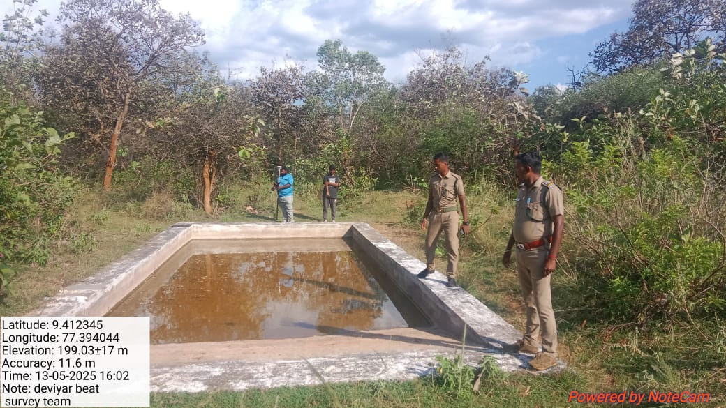
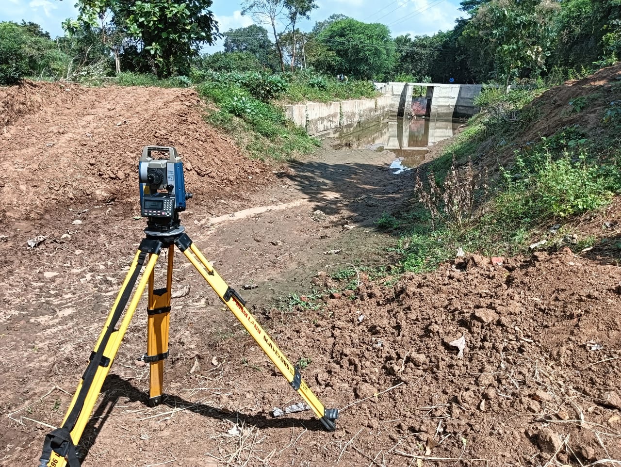
Specialized surveying for bridge construction, canal alignment, and waterway infrastructure projects.

Quarry & Crusher Development

Site surveys and volumetric calculations for quarry operations and crusher plant installations.

Forest & Water Resource Surveys

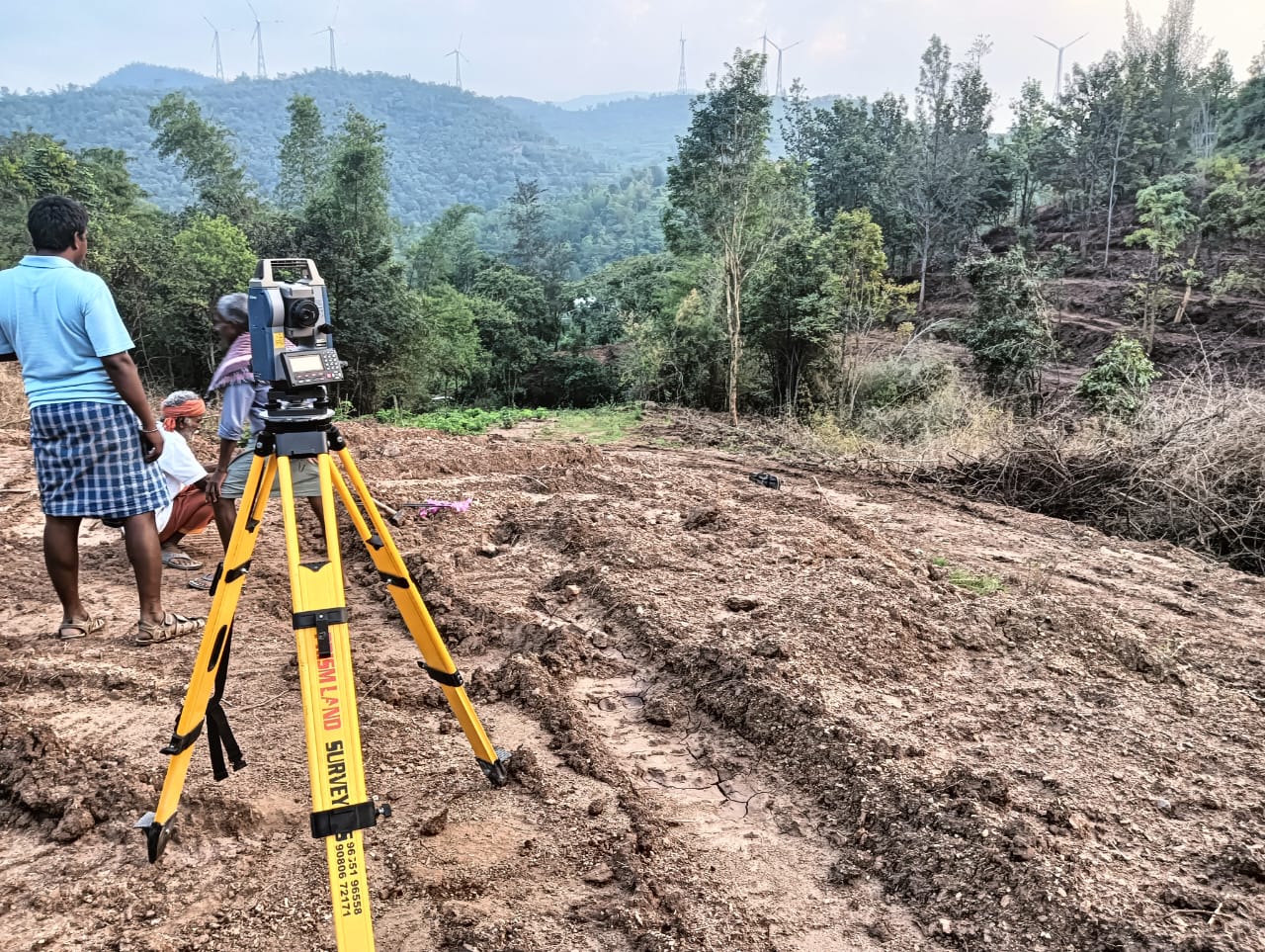
Environmental mapping and resource assessment for forest management and water resource planning.

Industrial Site Surveys

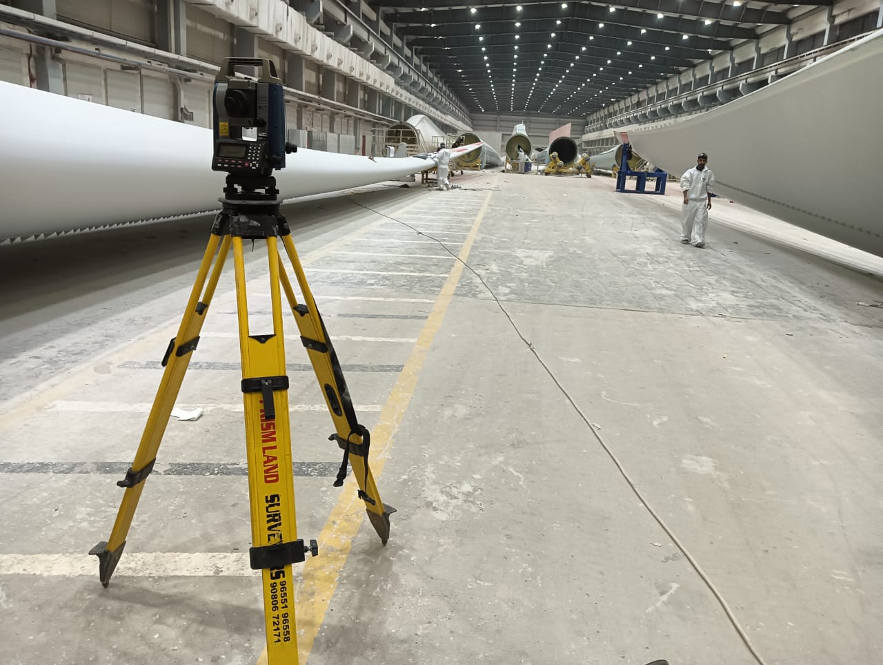
Precise mapping for industrial facilities, factories, and manufacturing plant layouts.

Residential & Commercial Development

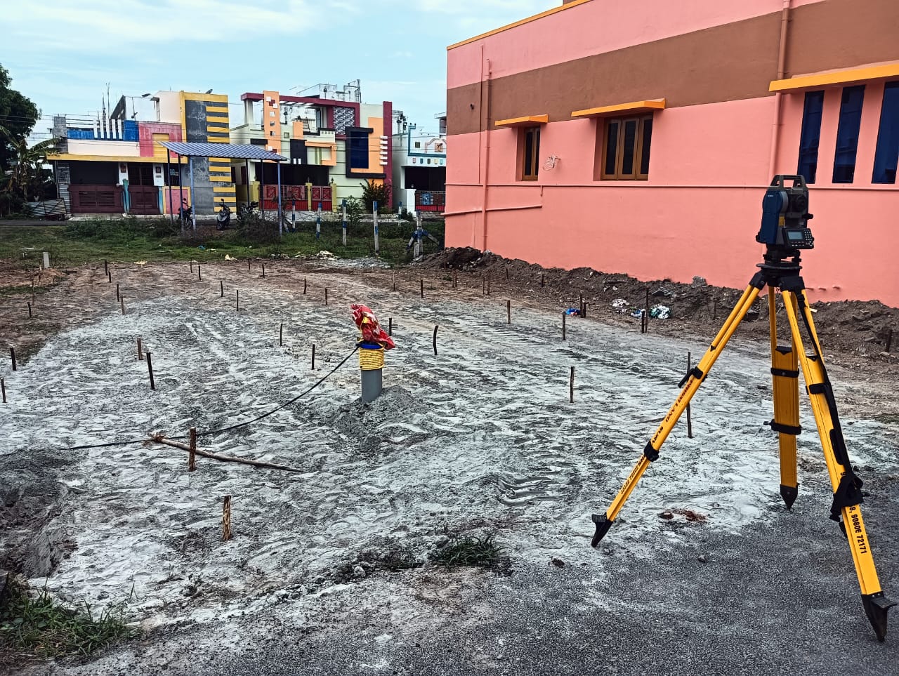
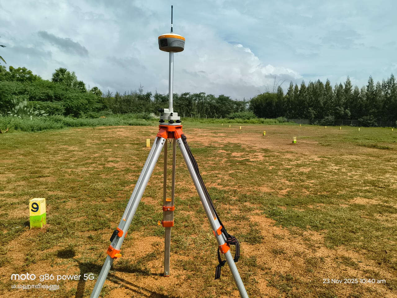
Land subdivision, plot demarcation, and site planning for residential and commercial projects.

Mining & Exploration Surveys

Underground and surface mapping for mining operations and mineral exploration activities.

Telecom Tower Surveys

Site selection and foundation surveys for telecommunication tower installations.

Irrigation & Agricultural Surveys

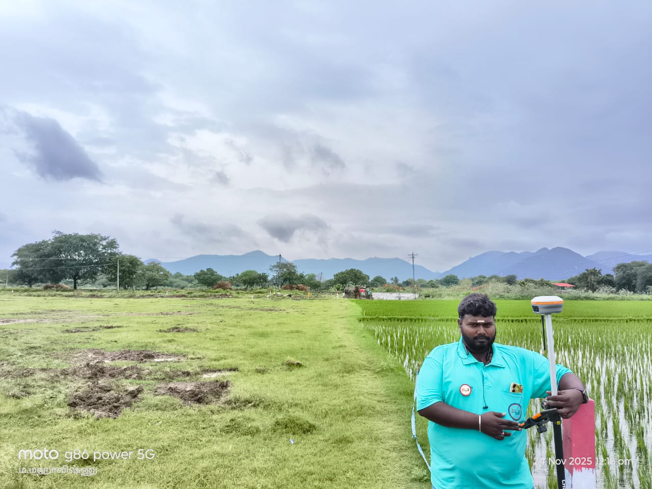
Land leveling, canal design, and irrigation system planning for agricultural development.

Power Plant & Substation Surveys

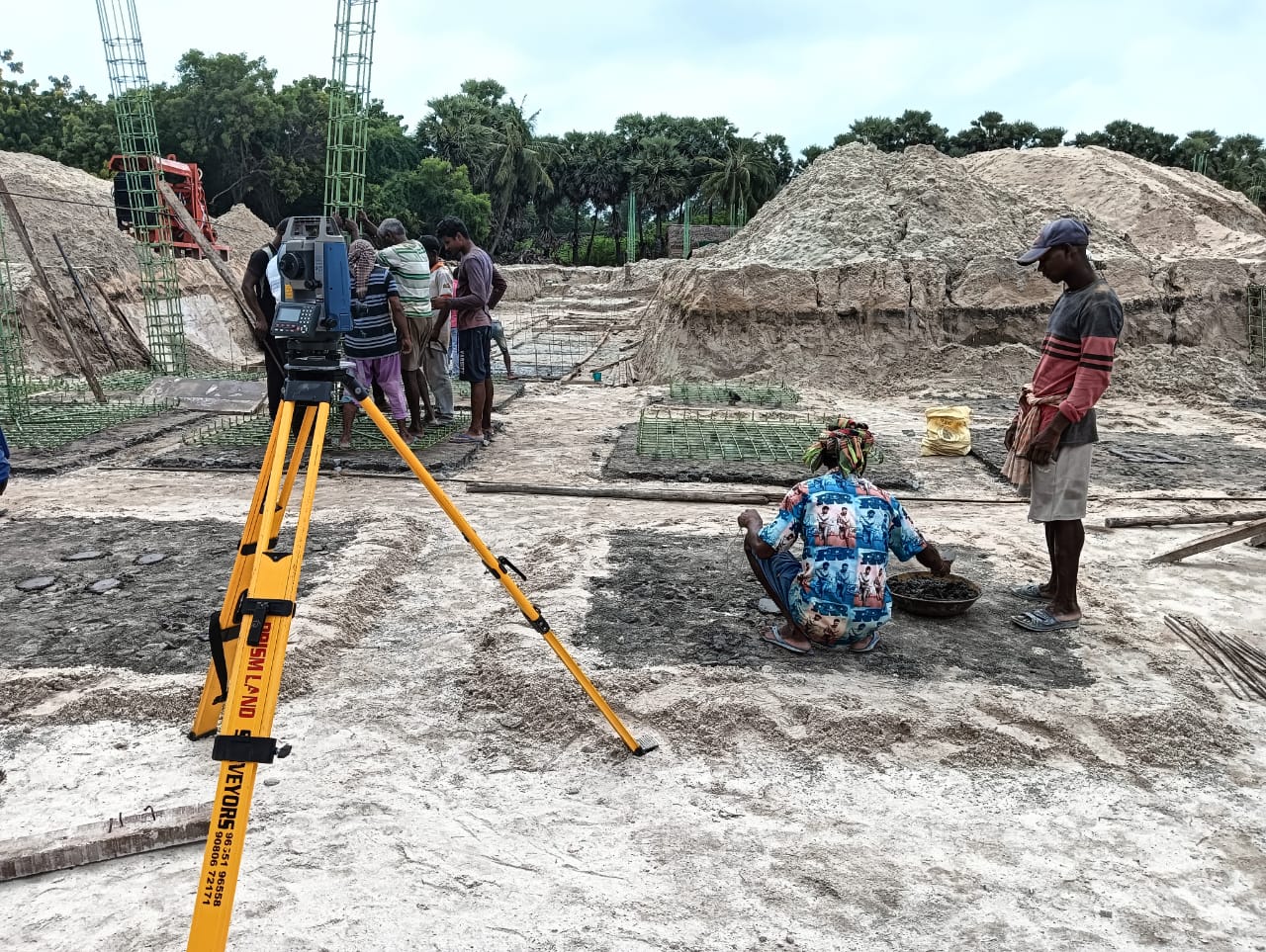
Site surveys and layout planning for power generation facilities and electrical substations.

Coastal & Marine Surveys

Shoreline mapping, harbor surveys, and coastal infrastructure development projects.

Get in Touch

Prism Land Surveyors

📍
Address

D.No: 11/2023C, Ist Floor, Lakshmi Nagar, 4th Cross Street, Trichy to Chennai NH Services Road, 4 Road, Perambalur, Tamil Nadu 621212

📞
💬
WhatsApp

+91 96551 96558

🕒
Working Hours

Mon – Sat : 9 AM – 6 PM

Send Us a Message